


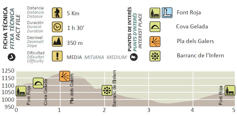
Barranc de l'Infern - Font Roja
Multimedia Gallery
Multimedia Gallery
- carretera Font Roja, S/N
- Alcoi/Alcoy
- 03801
- 03801
- contact information
- 965 53 71 55
- alcoi@touristinfo.net
- Access the web
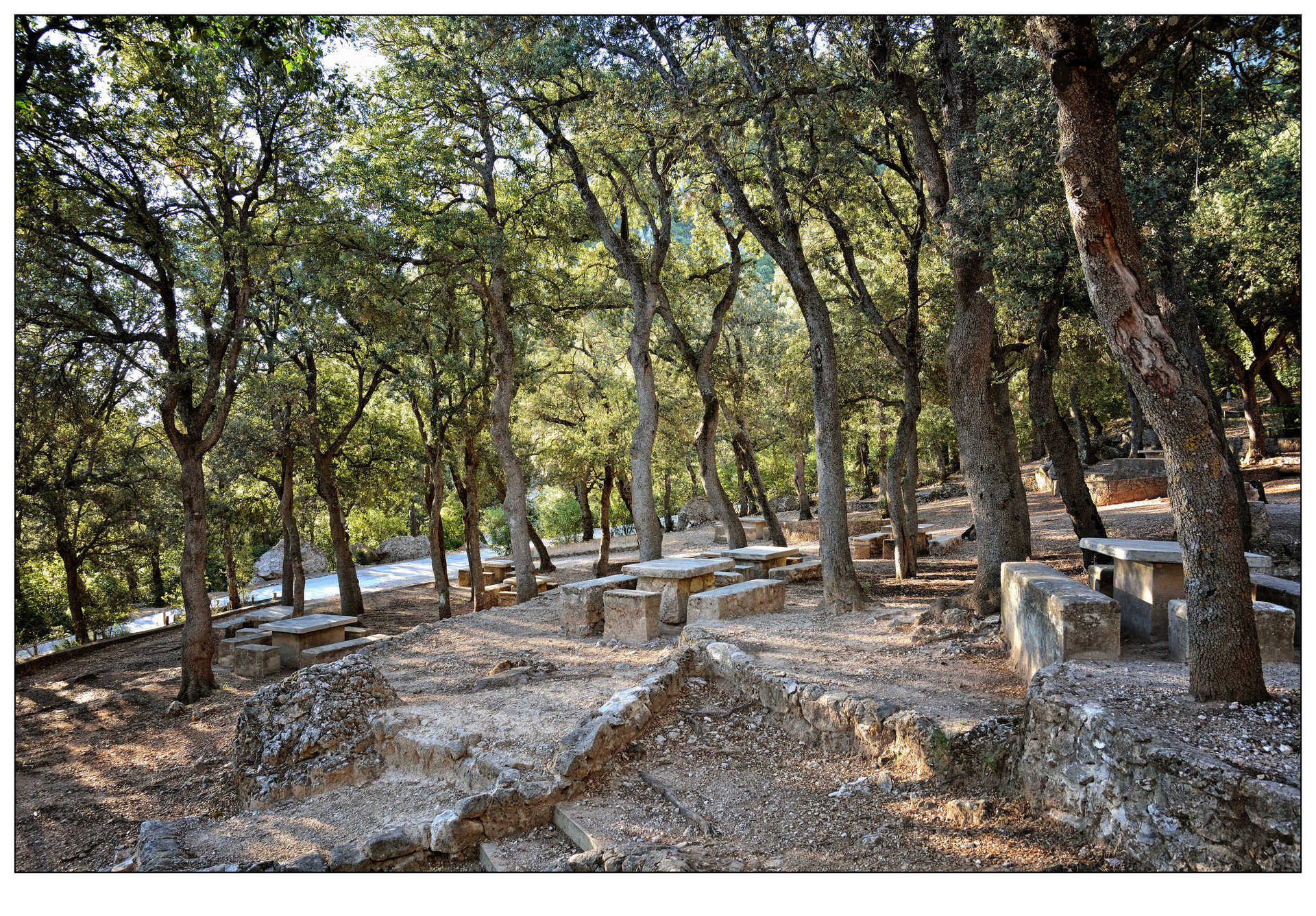
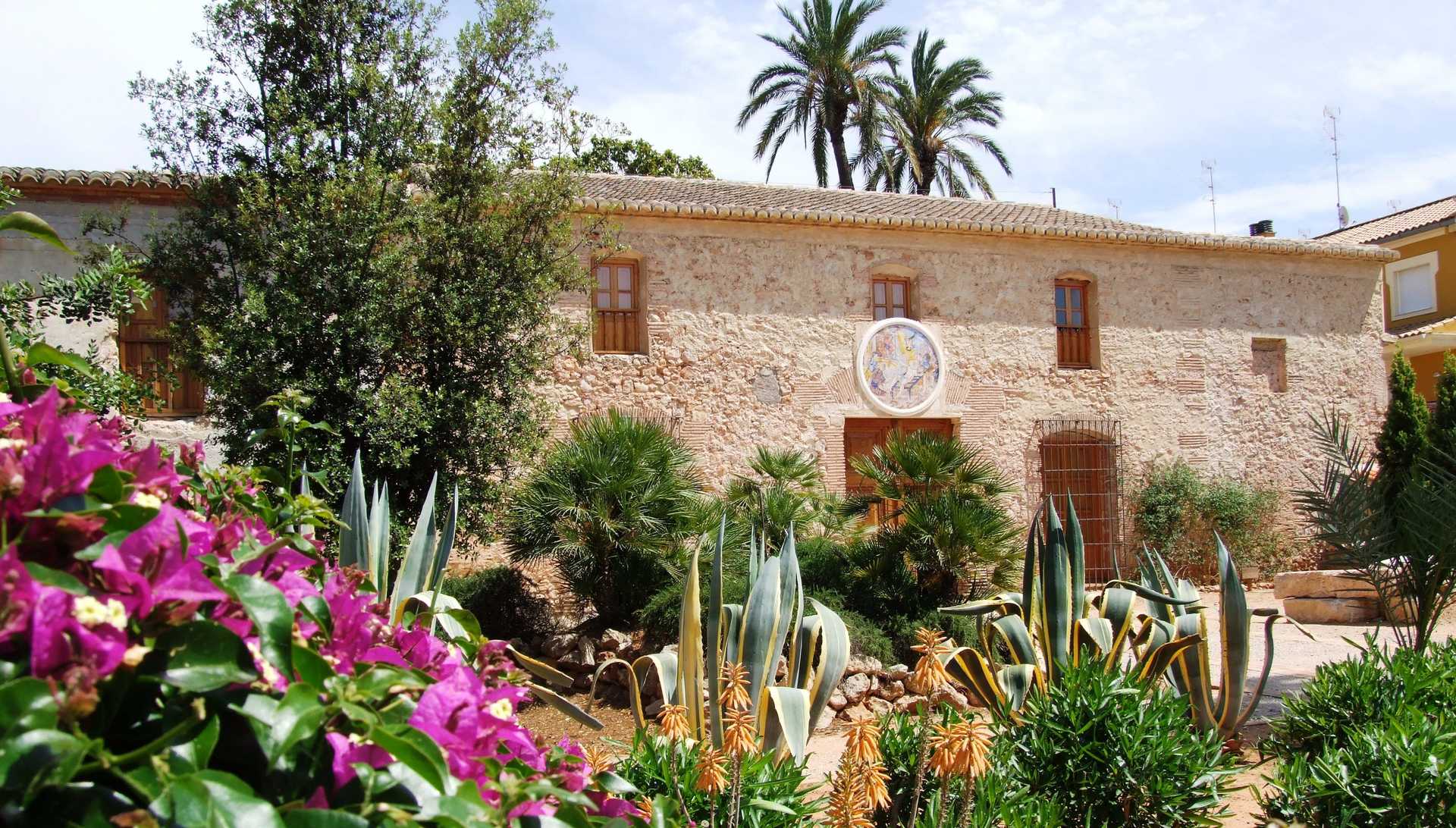
The route starts at the Font Roja Nature Centre, as far as a short distance from the Glorieta dels Paellers, where the most ancient holm oaks in the park are found. 20 m away you will see the Cova Gelada on the left, characterised by its coolness. A little later you reach the Pla de la Mina, where there is a reproduction of a lime oven, and two vantage points with lovely views.
At 1.1 Km from the start you get to the Pla dels Galers, the highest point on the route.
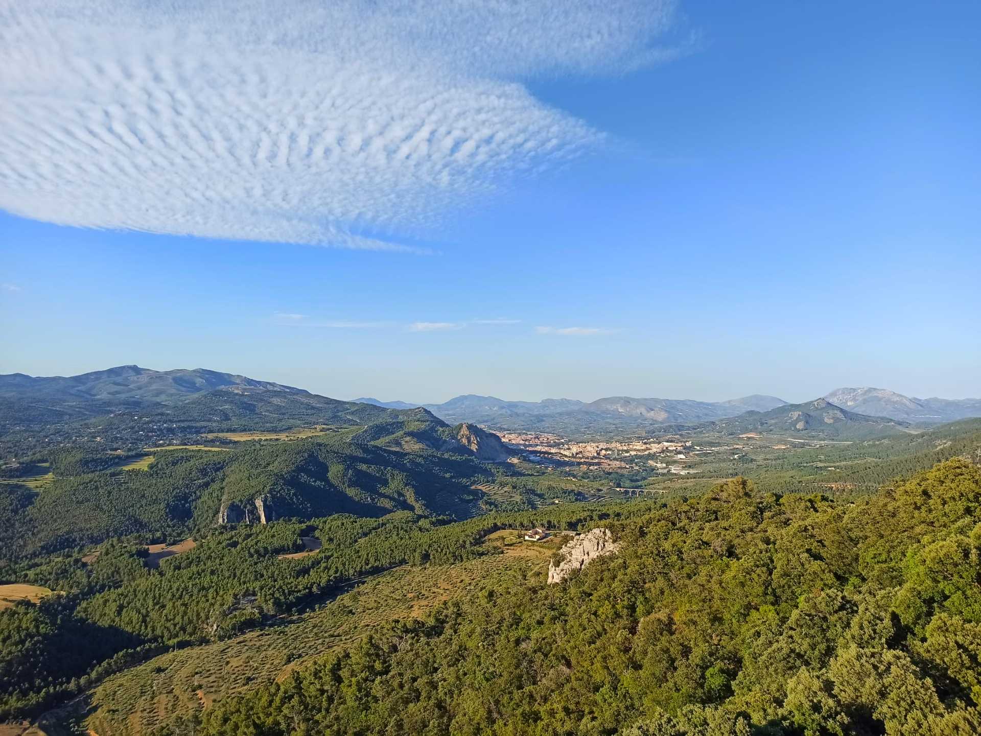
By crossing the Pla to the right you find the path that drops towards the Barranc de l'Infern ravine. After a ten-minute descent there, is a spectacular rocky cliff, where the path takes a turn allowing a lovely view of the valley of the river Polop.
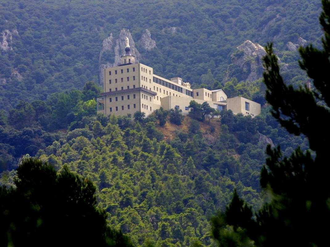
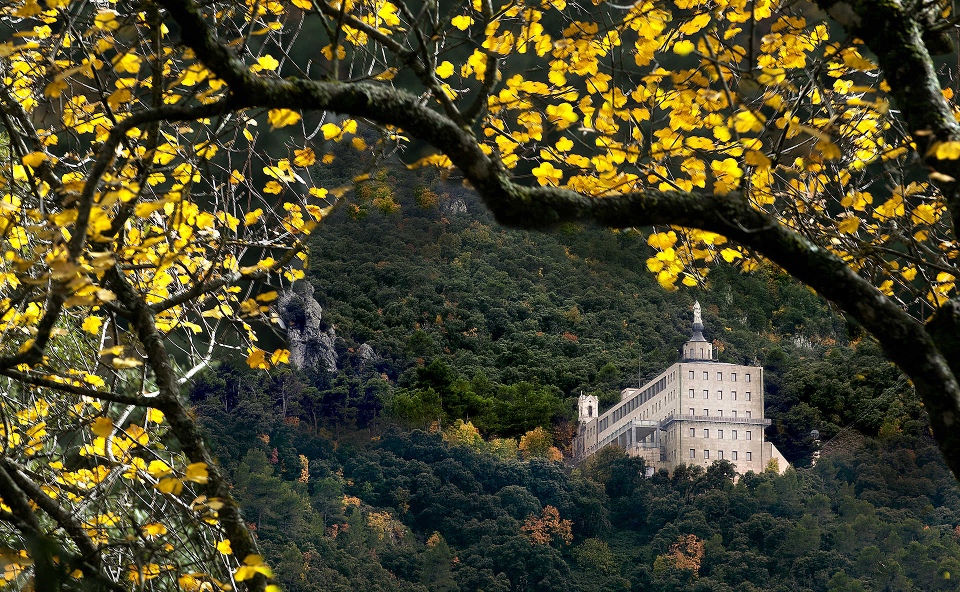
After a little over one hour's walk, you come to the Barranc de l'Infern, a very damp and cool zone, through which water runs at rainy times. Walking along the following ravine if you look up you can see the Nature Centre building.
In hardly 20 minutes you will have reached the road. After a ten minute walk along this one you will be back to the starting point.
You might also like


Travel
Come back

- Cookies policy
- Disclaimer
- Contact
- Newsletters
- Accessibility
-
© Turisme Comunitat Valenciana, 2025.
All rights reserved.