


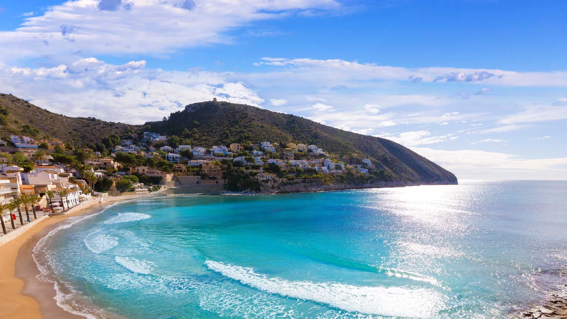
Cala Llebeig

Multimedia Gallery


Multimedia Gallery
- Poble Nou de Benitatxell, el/ Benitachell
- 03726
- contact information
- 96 649 35 46
- benitatxell@touristinfo.net
- Access the web
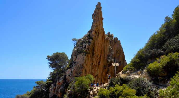
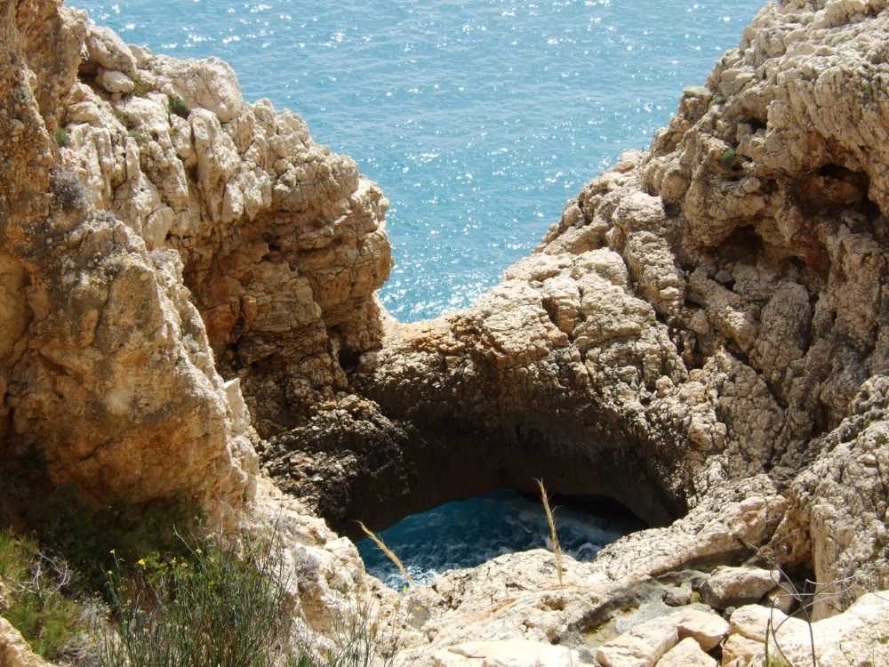
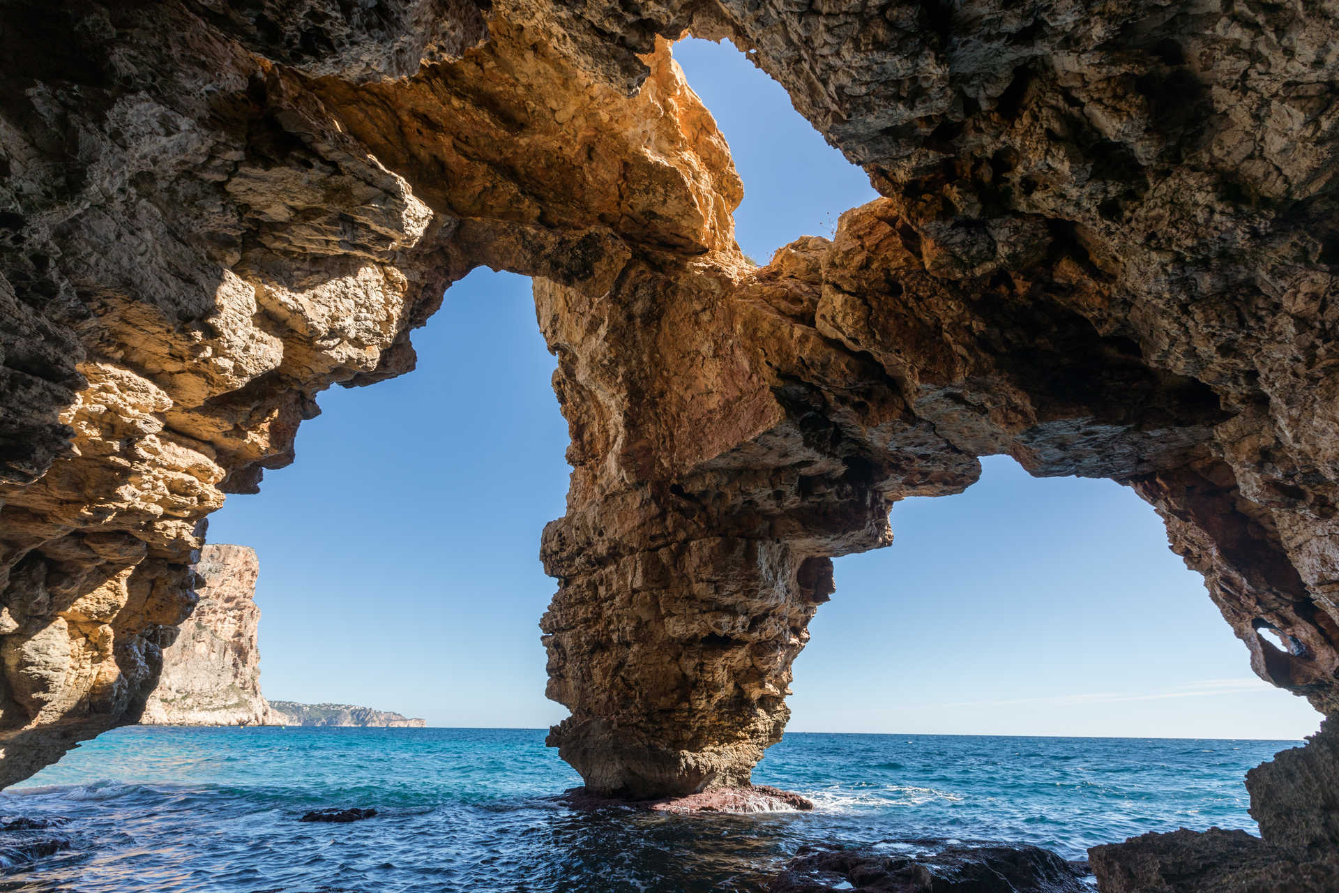
This cove, formed by the mouth of the ravine of the Widow (barranc de la Viuda), is located between the municipalities of Teulada-Moraira and El Poble Nou de Benitachell, and has no road access. It can only be accessed by boat or on foot, following the course of the ravine from Teulada-Moraira or the path that runs along the cliff (Cliffs Route or Ruta de los Acantilados) from El Poble Nou de Benitachell. Both paths are part of the SL-CV 50 trail. The old fishermen houses surround the bay a few meters from the shore and at the left end of the cove you can see the point of L'Alderà, located at the very base of Morro del Bou.
#
SERVICES
You might also like
Falla del Moraig
Natural Landscapes
La Vasenilla
Natural Landscapes
Cova dels Arcs
Natural Landscapes
MAÑET
Accommodation
El Portet beach
Beaches
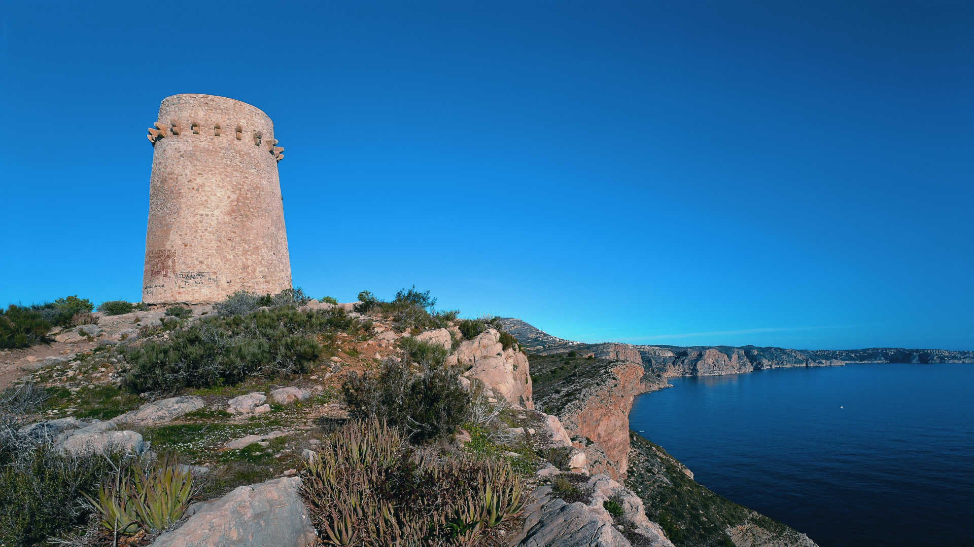
Cap d´Or Watchtower (Torre del Cap d'Or)
Monuments

CALA DEL MORAIG
Beaches

Come back

- Cookies policy
- Disclaimer
- Contact
- Accessibility
-
© Turisme Comunitat Valenciana, 2026.
All rights reserved.