Serra de la Llorença
Multimedia Gallery

Multimedia Gallery
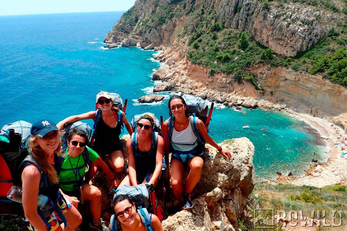
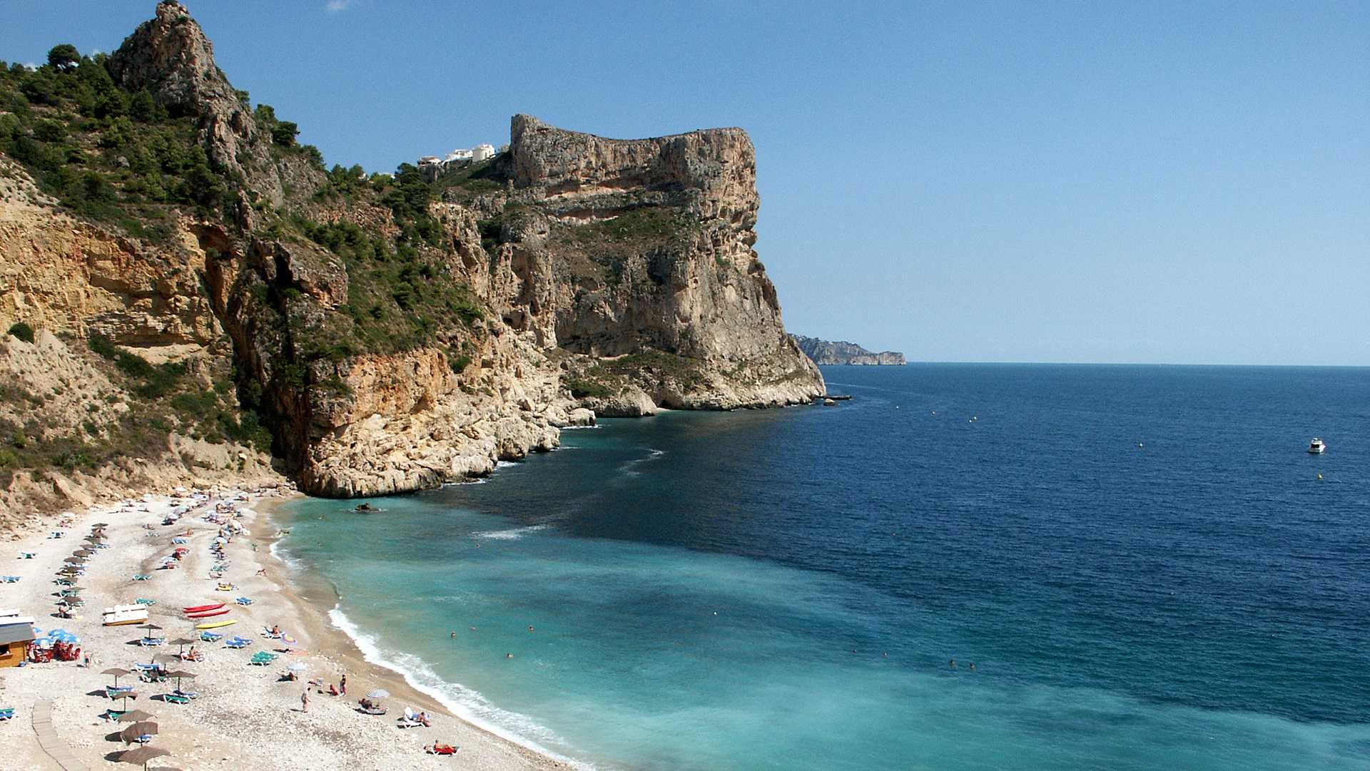
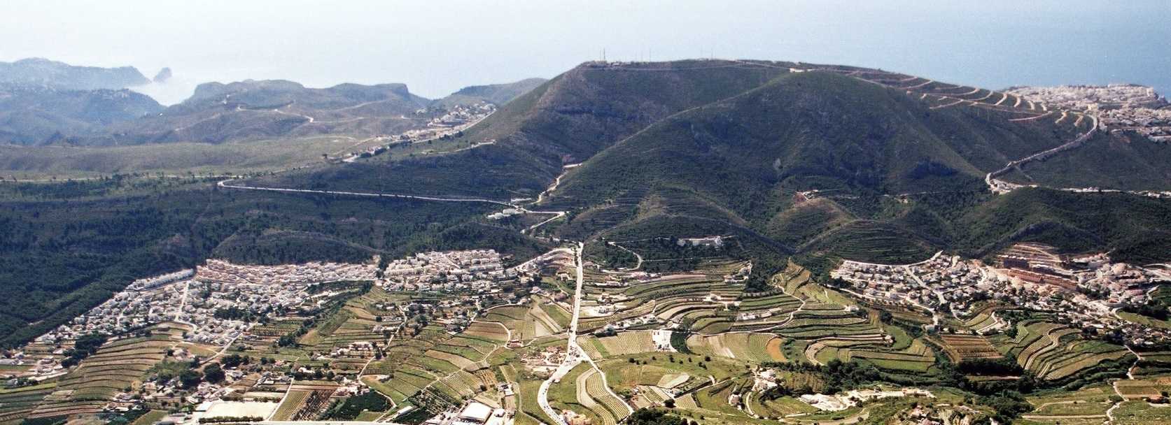
Sierra de la Llorença is a little and narrow mountain range located between Nao's cape and Moraira's peak. It goes through approximately 5 kilometres from north-east to south-east and the geographical continuation to the south of Nao's cape, separating the hollow of El Poble Nou de Benitatxell from the sea. Its maximum height is Puig Llorença (440 m), located on an horizontal distance of 1,5 to the sea. From its summit we can see a dream landscape: the Ibiza island, the little island of Benidorm, San Antonio’s cape, la Nao, Ifach, Albir and almost the whole La Marina Alta region.
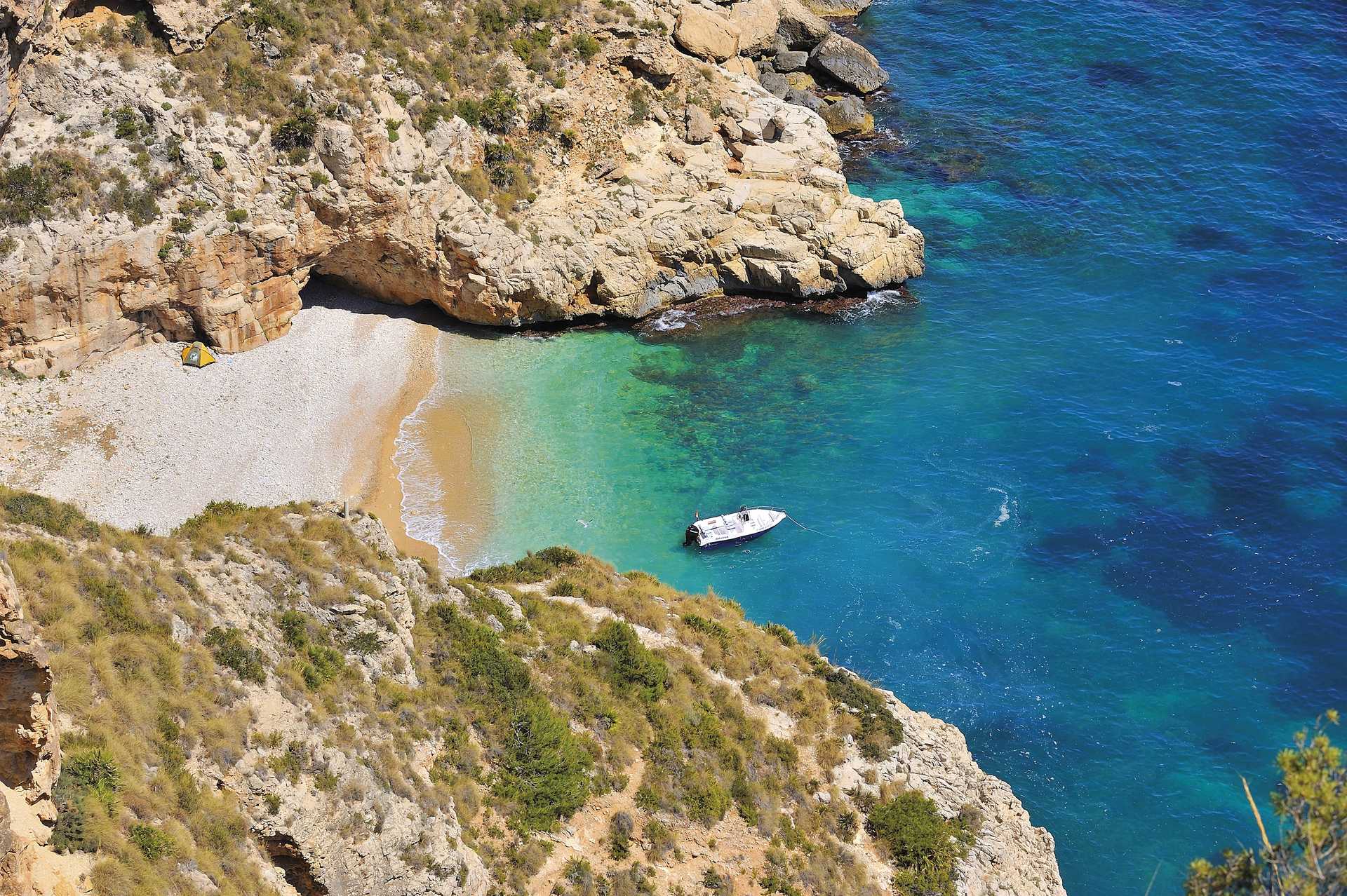
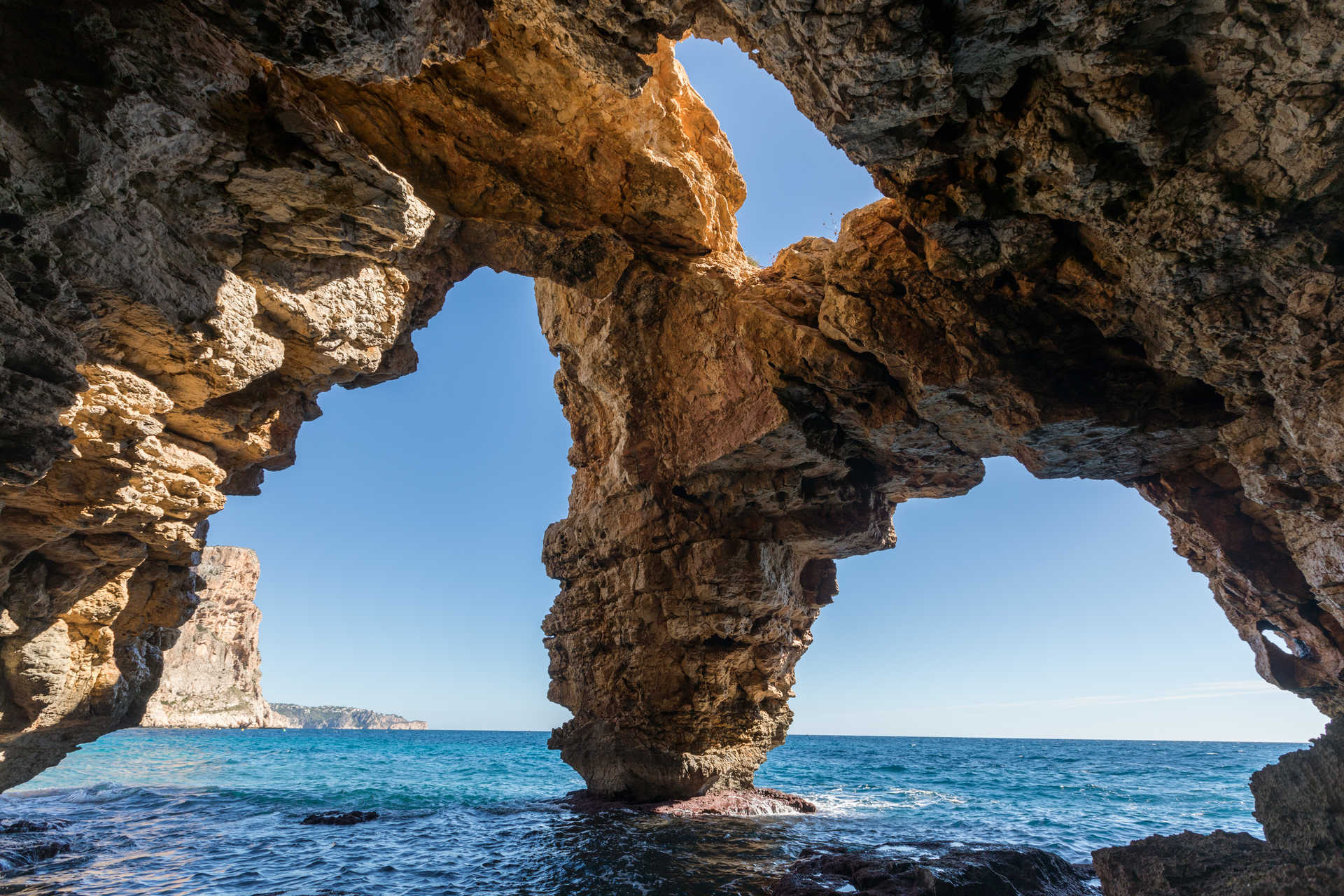
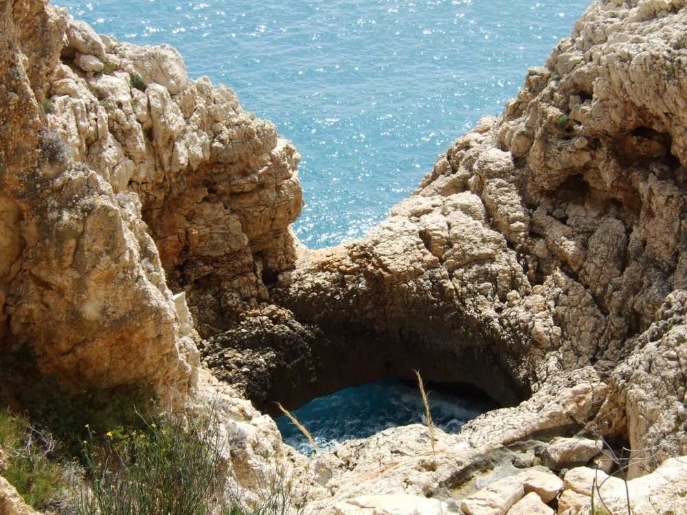
The uneven orography of Puig Llorença mountain, close to the sea, favours the presence of a great diversity of environments. Mountain tops, precipices, caves, sunny and shady mountain slopes, rocky incised gullies, ancient terraced lands, coves and cliffs… all provide shelter to a great variety species of interest.
Shrubland with kermes oak, fan palms, rosemary, heather bushes and esparto grass, fills the sunny slopes. The shady areas, such as the shady, humid bottoms of the gullies favour the presence of lentisk bushes, wild olive trees and Mediteranean buckthorn shrubs,which together with carob and olive trees, form vestiges of the ancient dryland crops which once dominated these terraces, but the abandoning of agriculture has favoured a natural reforestation of the land.
In this environment, snakes and lizards may be observed sunbathing on the rocks, together with partridges and a great variety of small birds,which are food for birds of prey such as the short-toed snake eagle or the Bonelli's eagle. A hunting peregrine falcon may also be observed “nose-diving” for its prey. At sunset, foxes, genets. wild boars and the eagle owl appear in search of rabbits and rodents.
Mountains


