Sierra de Corbera and Sierra de las Agujas
Multimedia Gallery
Multimedia Gallery
- Alzira
- 46600
- contact information
- 962 560 003
- 962 419 551
- alzira@touristinfo.net
- Access the web
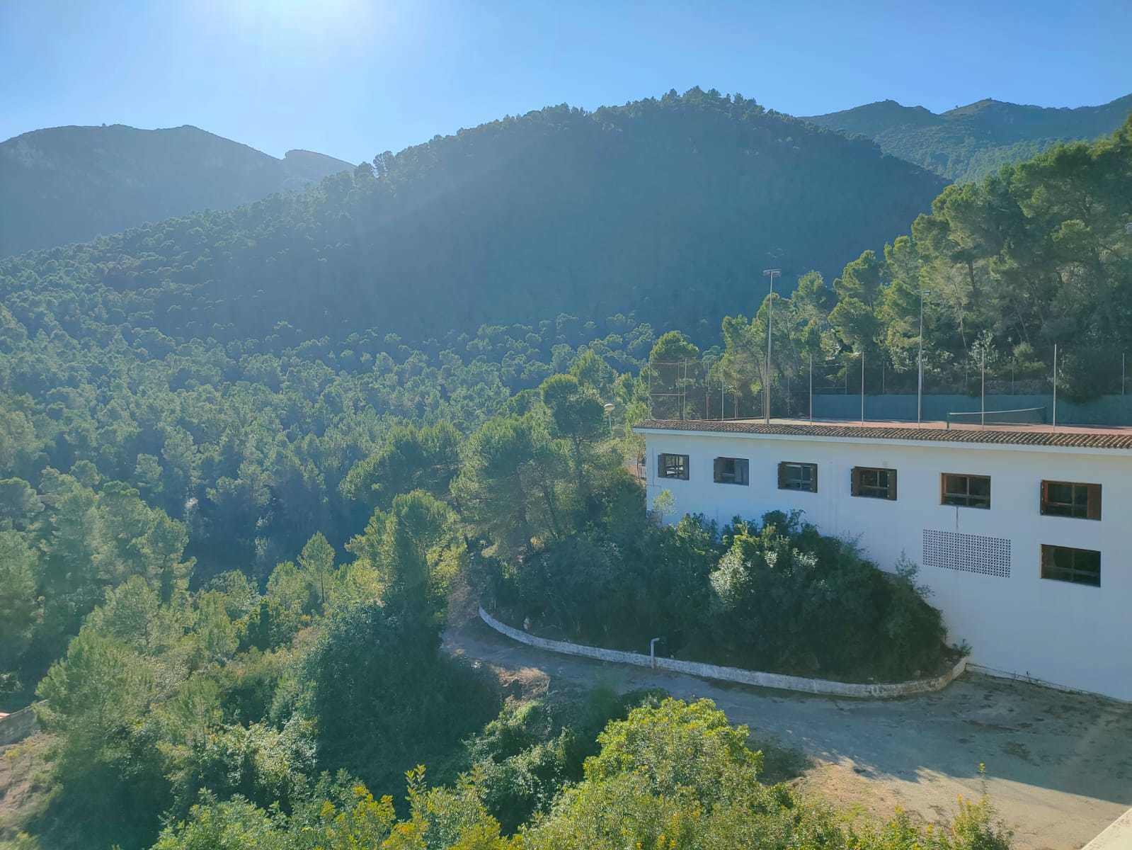
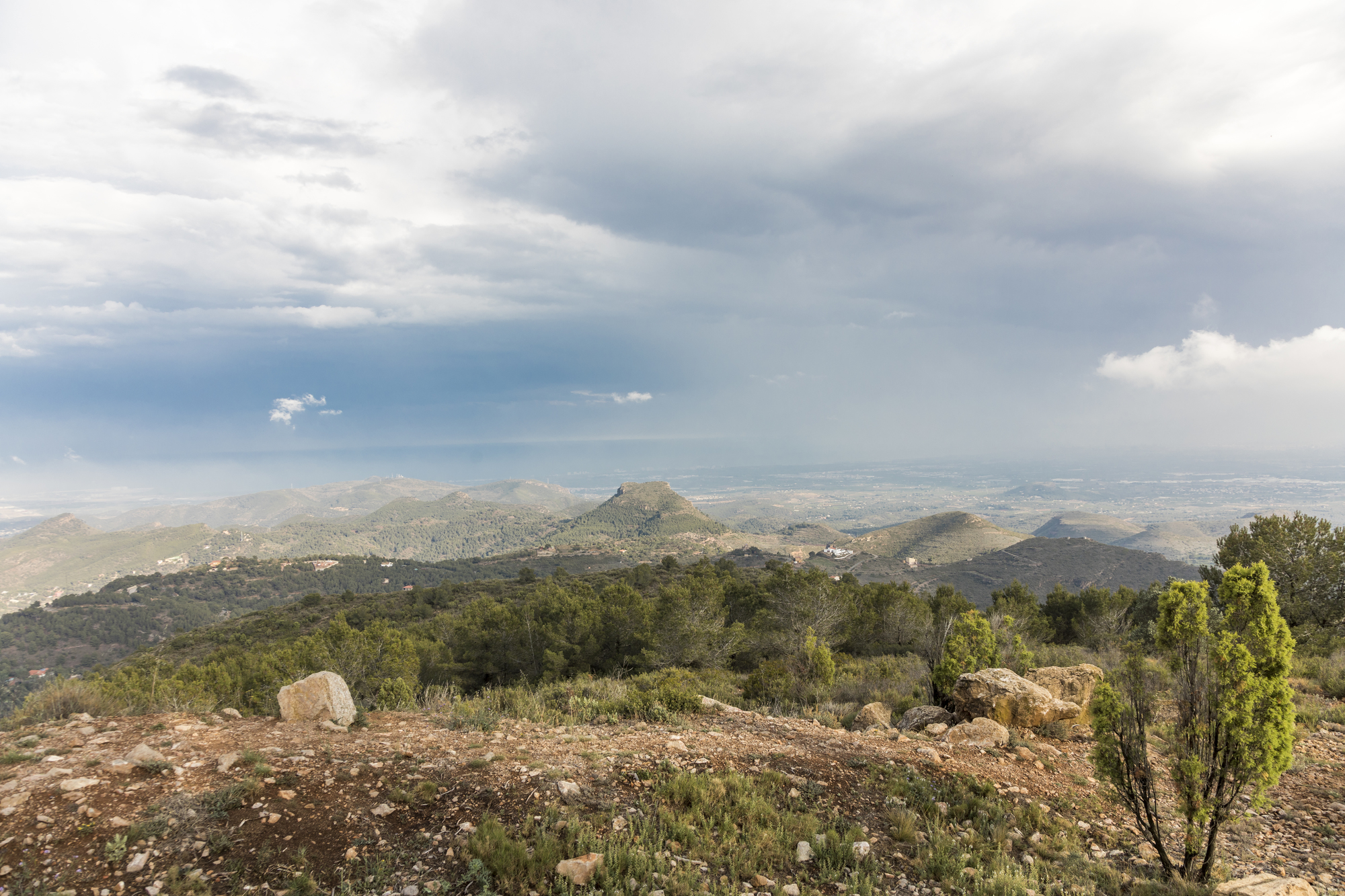
Sierra de Corbera is a mountain range nestled between the counties of La Ribera Alta, La Ribera Baja and La Safor. The mountains border with a total of six municipalities, namely Alzira, Corbera, Llaurí, Favara, Benifairó and Tavernes de la Valldigna. Extending for an imposing 20km, the mountains are in the southern part of the Iberian System with the highest peak reaching 584m above sea level.
The mountain starts at Montañeta del Salvador, a hill close to Alzira, and extends eastwards. Before too long, you will reach Pío de la Corbera, a chasm in the slopes of the mountain caused by the filtration of rainwater. You will then come across Monte de les Coves and Collao de Les Fontanelles, a mountain pass, where there is a trail leading from the village of Corbera to La Murta convent.
Past this point, the mountain rises up to Cavall Vernat, a rocky crag. El Tallat Blanc, La Regala, Les Orelles d'Ase and La Mula are just some of the other slopes and peaks that you will see along Sierra de Corbera. You will also come across structures such as Castillo de Corbera, the castle, and trails such as Pas dels Pobres.
This mountainscape is crisscrossed with trails for you to explore, making it the perfect place to connect with mother nature and do some exercise. Visit Sierra de Corbera and Sierra de las Agujas to do some rock climbing and hiking with spectacular views.
Mountains


